Where to go · Cheshire
Forest bathing at Macclesfield Forest
Conifer and mixed woodland around four reservoirs in the western Peak District, with a heronry at Trentabank.
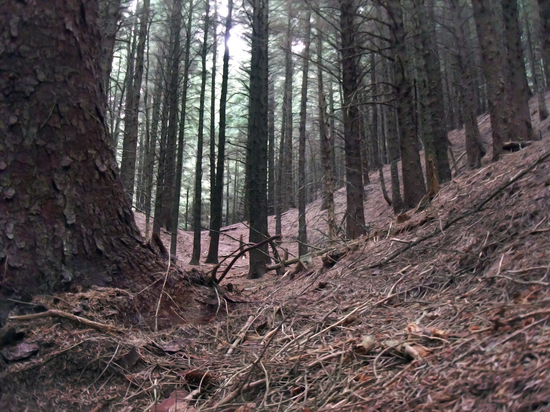
Macclesfield Forest covers more than 1,000 acres of hillside above Macclesfield, on the western edge of the Peak District. It was planted around the reservoirs that United Utilities still runs: Trentabank, Ridgegate, Teggsnose and Bottoms. Most of the woodland is a designated site of biological importance, and Cheshire Wildlife Trust looks after a large heronry at Trentabank. Some larch has been felled to slow the spread of larch disease, so expect open, replanted patches as well as tall, dark stands.
Trentabank car park on Clarke Lane is the usual start, with toilets and a picnic area. Walking routes are marked on the noticeboard there. The reservoir edges are the easiest walking, while the tracks climbing into the forest towards the higher ground are steeper and quieter. Dogs are welcome on leads. It is high, wet country, so bring layers and boots.
Practical
- Managed by
- United Utilities, with Cheshire Wildlife Trust
- Parking
- Pay and display at Trentabank car park
- Terrain
- Forest tracks and reservoir-side paths, some steep climbs; wet in places
- Nearest station
- Macclesfield, about 5 miles
- Facilities
- Toilets and picnic area at Trentabank car park
- Opening and entry
- Open access, free
- Official page
- unitedutilities.com
Last updated 4 November 2026. Paths, parking and access can change, so check before you visit. Spotted something out of date? Please let us know.
Guides nearby
Three guides within 15 miles of Macclesfield Forest
-
Amanda Bailey
Let's Step In
Alderley Edge, Cheshire
UnclaimedTrained by Nature and Therapy UK
Public group sessionsRetreats
-
Fleur Boxall
Nature Escapes
Bramhall, Greater Manchester
UnclaimedTrained by Association of Nature and Forest Therapy
Private and one-to-onePublic group sessionsRetreats
-
Rachael Cartmell
Growing Wilder
Lancashire
UnclaimedTrained by Light Box
Private and one-to-onePublic group sessions
More woodlands in Cheshire
All venues in Cheshire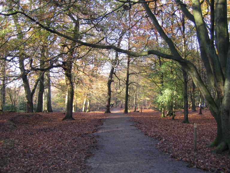 Alderley EdgeWooded ridge with beech woods, old mine workings and long views over the plain
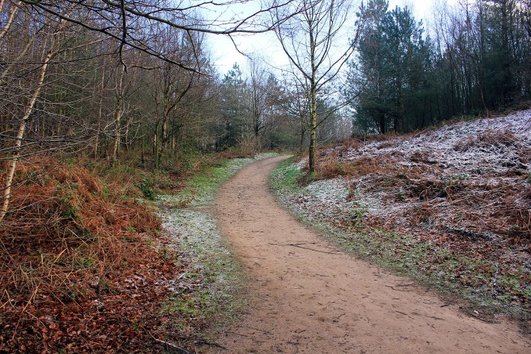 Delamere ForestCheshire's largest woodland: pine, birch and oak around meres, with a station on site
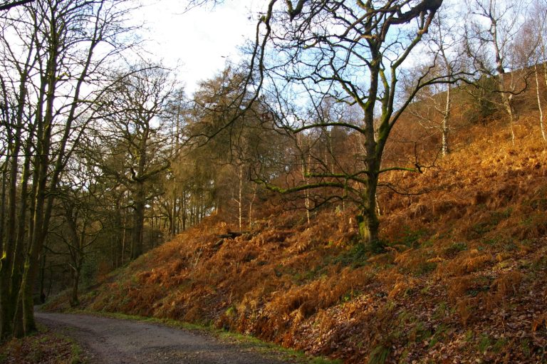 LymeDeer park on the edge of the Peak District, with ancient woodland and open moor
Photos: Alderley Edge, Pete Birkinshaw (CC BY 2.0); Delamere Forest, Jeff Buck (CC BY-SA 2.0); Lyme, Christopher Hilton (CC BY-SA 2.0).