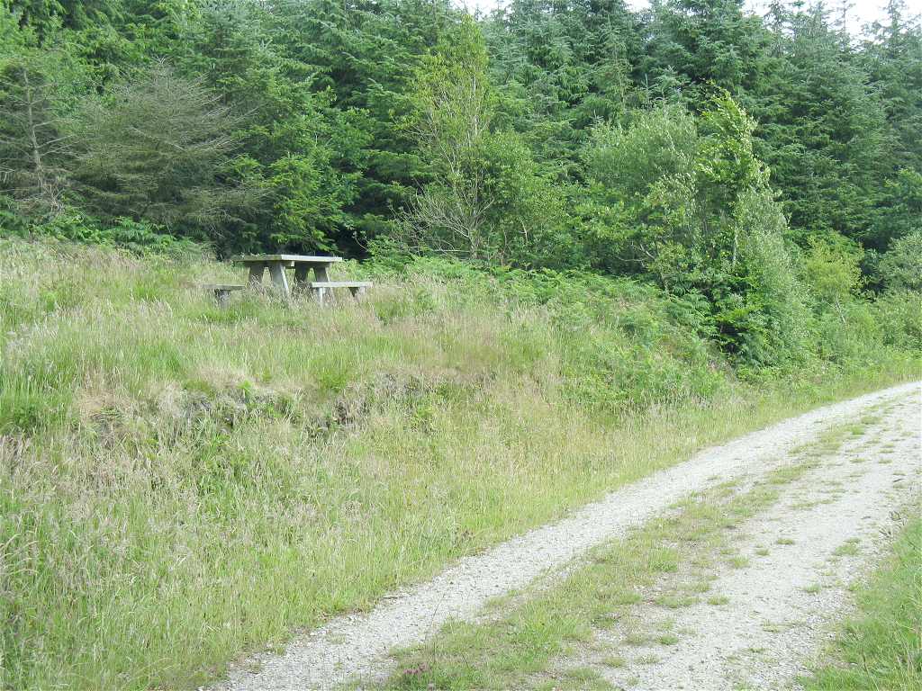
Where to go · Rhondda Cynon Taf
Forest bathing at Llantrisant Forest
Around 250 hectares of hillside forest, ancient in parts, with wide tracks and narrow paths between Llantrisant and Llanharan.
Llantrisant Forest covers about 250 hectares of hillside south of Llantrisant, a mix of plantation and woodland that is ancient in parts. It is close to the M4 corridor and the towns of the lower Taf Ely, yet the network of tracks gives you plenty of room, and you can walk in from a railway station.
Most people start from the Natural Resources Wales car park, where the council's Mynydd Garthmaelwg walk begins. If you come by train, the council also has a 6km route from Llanharan station into the forest. Paths range from unsurfaced forest roads to wide paths and narrow tracks under the trees; the narrow ones are the quieter choice. It is hilly, so expect some climbing and mud after rain. A picnic table and viewpoint look out from one of the higher points.
Practical
- Managed by
- Natural Resources Wales
- Parking
- Natural Resources Wales car park
- Terrain
- Unsurfaced forest roads, wide paths and narrow tracks; hilly
- Nearest station
- Llanharan, about 2 miles on foot
- Facilities
- Picnic table and viewpoint
- Opening and entry
- Open access, free
Last updated 4 November 2026. Paths, parking and access can change, so check before you visit. Spotted something out of date? Please let us know.
Guides nearby
A guide within 15 miles of Llantrisant Forest
More woodlands in Rhondda Cynon Taf
All venues in Rhondda Cynon Taf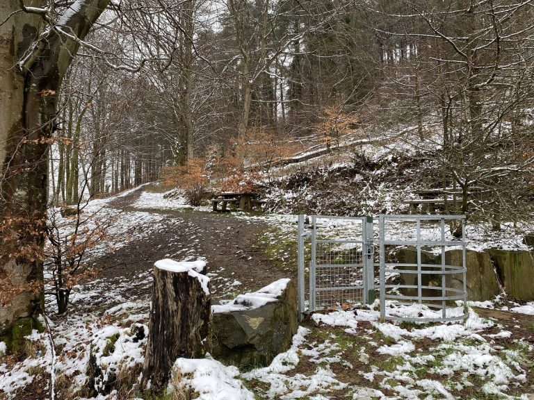 St Gwynno Forest, LlanwonnoUpland forest around St Gwynno's church, between the Rhondda and Cynon valleys
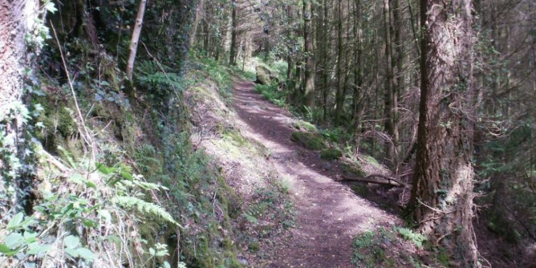 Barry Sidings Countryside ParkReclaimed railway sidings with forestry paths and riverside walks near PontypriddGlyncornel Nature ReserveNatural woodland on the Rhondda valley side at Llwynypia, linking into the forest above
Photos: St Gwynno Forest, Llanwonno, Alan Hughes (CC BY-SA 2.0); Barry Sidings Countryside Park (area photo): On the yellow waymarked trail, Gwydir Forest. Photograph: Peter S, CC BY-SA 2.0.