Where to go · North Ayrshire
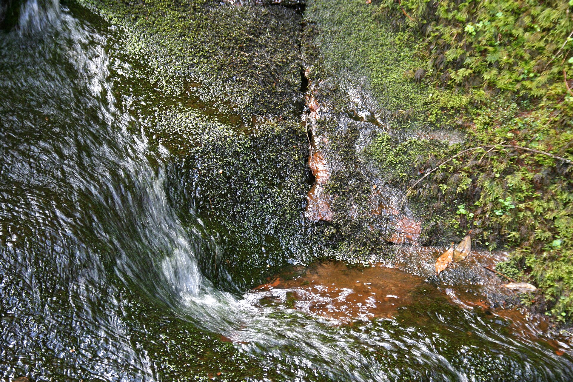
Forest bathing at Glenashdale, South End Forest
Arran's largest native woodland, with a burnside climb from Whiting Bay to the island's tallest double waterfall.
South End forest covers much of south-east Arran and holds the largest area of native woodland on the island, with a healthy population of red squirrels. From Whiting Bay, the Glenashdale Falls Trail follows the Glenashdale Burn up through the woods to a rocky cauldron and the tallest double waterfall on Arran, where there is a viewing platform, then returns to the village past an Iron Age fort.
Park in the free council car parks at Ashdale Bridge, at the south end of Whiting Bay, then walk a quarter of a mile up a narrow lane to the forest entrance. The falls trail is about four and a half kilometres, with several steep slopes, steps and rough, rocky or muddy sections, so allow an hour and a half or more and wear boots. The Giants' Graves Trail climbs steeply to Neolithic chambered cairns with views over Whiting Bay. Toilets and places to eat are in the village.
Practical
- Managed by
- Forestry and Land Scotland
- Parking
- Free council car parks at Ashdale Bridge, Whiting Bay
- Terrain
- Uneven gravel and earth, rocky and muddy in places, steep slopes and steps
- Nearest station
- Ardrossan Harbour, then ferry to Brodick and about 8 miles by road
- Facilities
- Waterfall viewing platform; toilets and places to eat in Whiting Bay
- Opening and entry
- Open access, free
- Official page
- forestryandland.gov.scot
Last updated 4 November 2026. Paths, parking and access can change, so check before you visit. Spotted something out of date? Please let us know.
Guides nearby
A guide within 15 miles of Glenashdale, South End Forest
-
Malcolm Kerr
Isle of Arran, North Ayrshire
UnclaimedTrained by Nature and Therapy UK
Public group sessionsReferral and social prescribing
More woodlands in North Ayrshire
All venues in North Ayrshire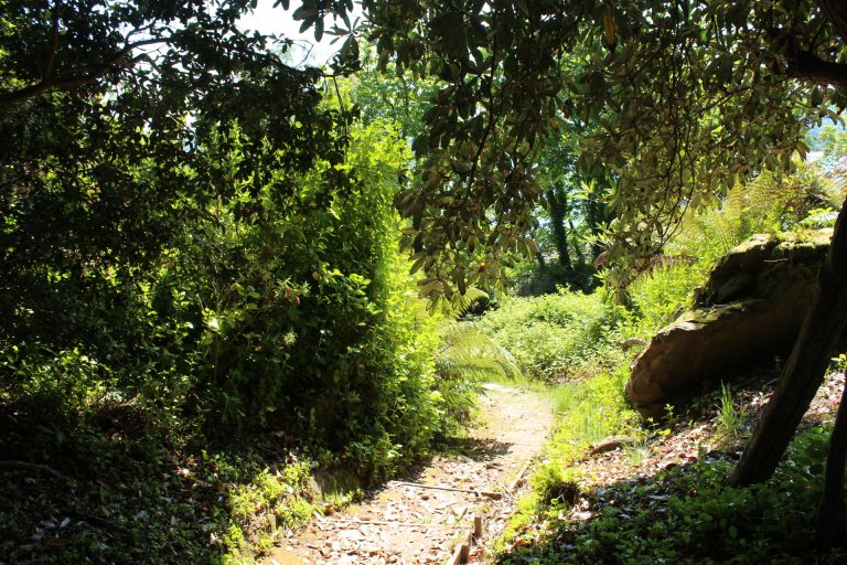 Brodick Castle Country ParkIsland country park with woodland, waterfalls and red squirrels on Arran
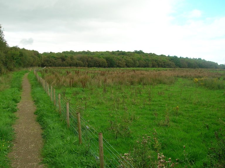 Corsehillmuir WoodSmall mossy native wood of birch, ash, alder and willow
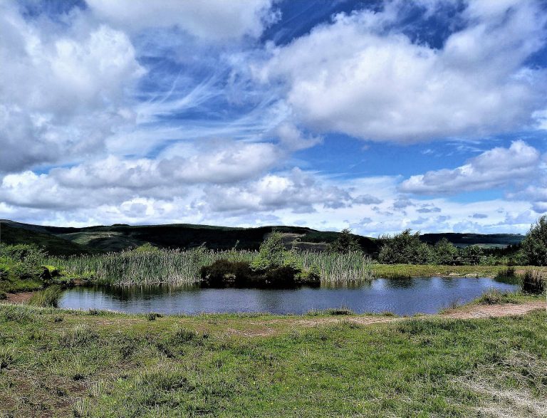 DyemillBurnside native woodland, small waterfalls and a cleared village near Lamlash
Photos: Brodick Castle Country Park, Billy McCrorie (CC BY-SA 2.0); Corsehillmuir Wood, Rosser1954 (Public domain); Dyemill, Raibeart MacAoidh (CC BY-SA 2.0).