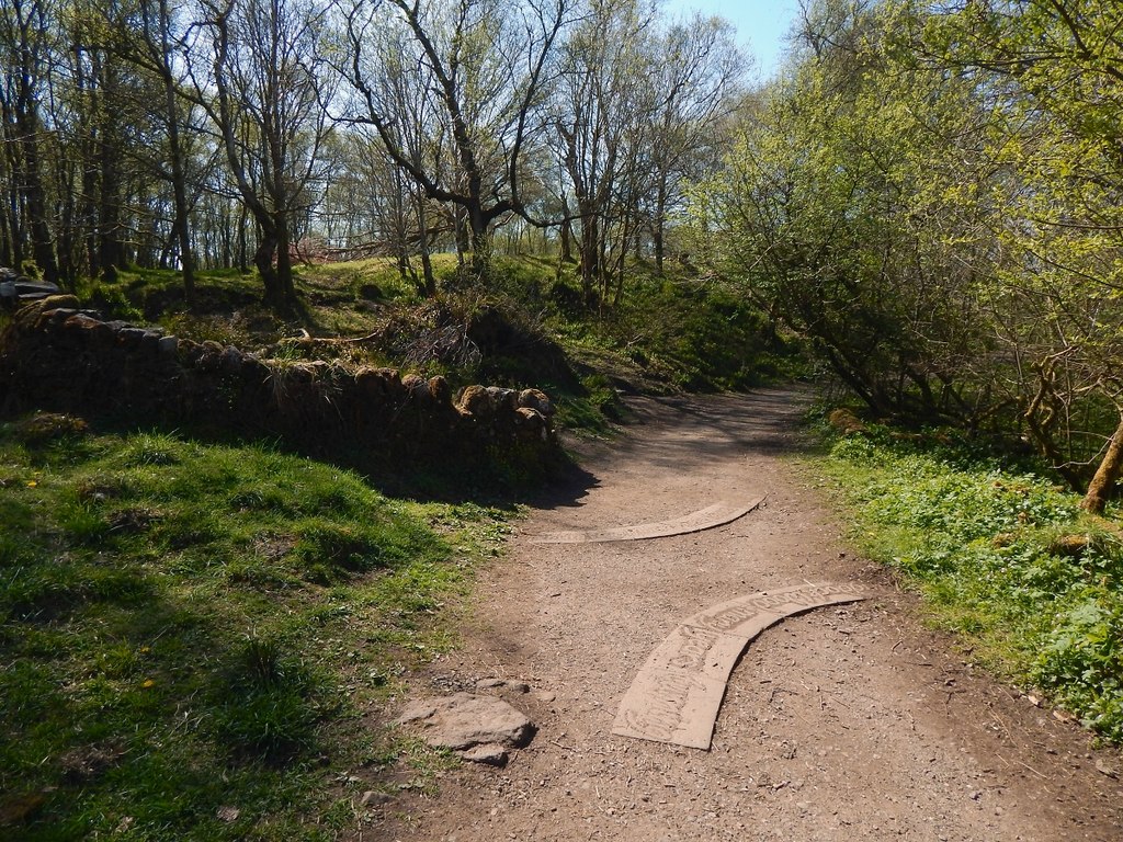
Where to go · East Dunbartonshire
Forest bathing at Mugdock Country Park
Woodland, moorland and heath north of Milngavie, with two castles, small lochs and a long network of paths.
Mugdock Country Park covers about 270 hectares of woodland, moorland and heathland just north of Milngavie, and almost 70% of it is a Site of Special Scientific Interest. The ruins of 14th-century Mugdock Castle look over Mugdock Loch, and the shell of Craigend Castle stands nearby. The Allander Water runs through the park, and the West Highland Way passes along its edge.
Most people start at the Courtyard, the old stable block with the visitor centre and cafés, so the woods and moor further from it are quieter. The Toadstool Trail through Pheasants Wood is an easy loop; the paths around Mugdock Loch and the castle are good for stopping by the water. Most paths are wide, with compacted earth, gravel or tarmac and benches along the way, though some are narrow, uneven or have steps. The park is open around the clock.
Practical
- Managed by
- East Dunbartonshire and Stirling Councils (joint management committee)
- Parking
- Free car parks, including the main car park at the visitor centre and the Khyber and East car parks off Craigallian Road
- Terrain
- Mostly wide paths of compacted earth, gravel or tarmac; some narrow, uneven or stepped sections
- Nearest station
- Milngavie
- Facilities
- Visitor centre with toilets, cafés, gift shop, gallery and garden centre at the Courtyard
- Opening and entry
- Open 24 hours, free
- Official page
- mugdock-country-park.org.uk
Last updated 4 November 2026. Paths, parking and access can change, so check before you visit. Spotted something out of date? Please let us know.
Guides nearby
Three guides within 15 miles of Mugdock Country Park
-
Angela MacRitchie
Essence of the Soul
Glasgow
UnclaimedTrained by Forest Therapy Hub
Private and one-to-onePublic group sessions
More woodlands in East Dunbartonshire
All venues in East Dunbartonshire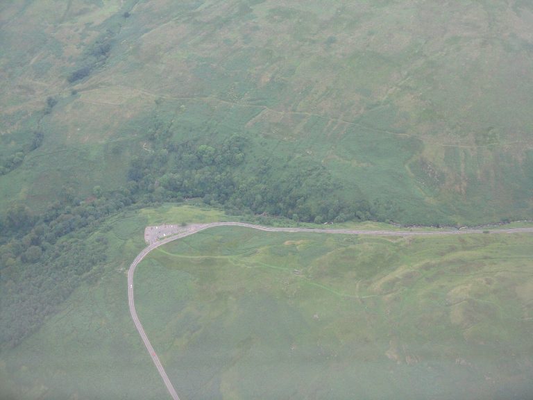 Campsie GlenWooded glen on the Kirk Burn, climbing from Clachan of Campsie towards the fells
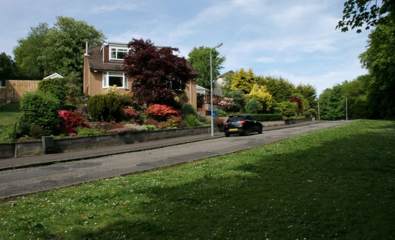 Dougalston WoodlandsOld estate woods and Dougalston Loch on the edge of Milngavie
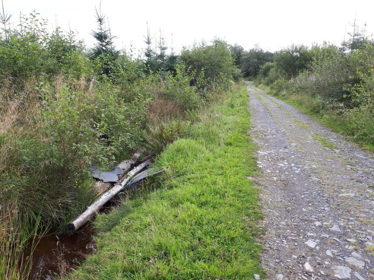 Lennox ForestQuiet conifer forest above Lennoxtown, with wide tracks and views over Glasgow
Photos: Campsie Glen, M J Richardson (CC BY-SA 2.0); Dougalston Woodlands, Richard Sutcliffe (CC BY-SA 2.0); Lennox Forest, Gordon Brown (CC BY-SA 2.0).